
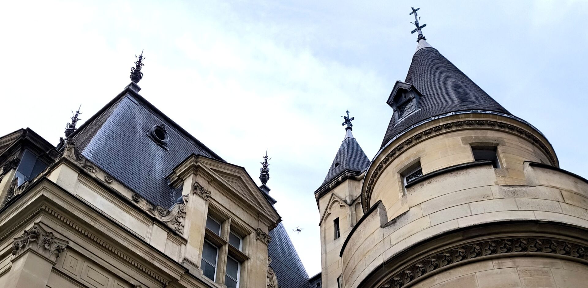
Creation of a Digital Twin for the Conservatoire National des Arts et Métiers (Paris)
1.Creating a Digital Twin of the CNAM
About the CNAM

Located in the 3rd arrondissement of Paris, the Conservatoire National des Arts et Métiers ou CNAM forms a neighbourhood in its own right. A public institution dedicated to higher education, research and the dissemination of scientific and technical culture, the CNAM was founded in 1794 on the initiative of Abbé Henri Grégoire during the French Revolution. The site comprises a collection of buildings, some of which date back to the 8th century. It is notably home to the Musée des Arts et Métiers, one of the world's oldest technical and industrial museums, housing an extensive collection of scientific objects and historic machinery.
An engineering school based in Le Mans and specialising in surveying is also part of the CNAM: the l’École supérieure des ingénieurs géomètres et topographes (ESGT). Founded in 1946, the school awards a Master's-level engineering degree in surveying and geomatics. The CNAM's Paris campus also offers a Master's degree in Land and Property Management.
Context and Challenges
The CNAM and Maël de QUELEN, Chief Architect for Historic Monuments, commissioned TT Géomètres Experts to contribute to a comprehensive technical assessment of the entire building envelope across the site.
Project objective: to carry out a condition assessment of the buildings, identifying issues such as cracks, moss and water infiltration. To achieve this, our teams produced a 3D digital twin of the site. It is one of the largest projects undertaken by TT Géomètres Experts teams in recent years.
For two weeks, I had the opportunity to work on site at the CNAM carrying out the surveys. I am very proud to have contributed to a project of this scale in a place steeped in history.
2.Multiple Teams and Surveying Methods Mobilised
Innovation and Architecture: Two Teams Working Together
Two departments were involved in producing the CNAM's 3D digital twin: our innovation department and our Architecture Department at the Paris office contributed to the digitisation process and the production of the deliverables.
An Innovation Lab at the Heart of TT Géomètres Experts

Established in 2017, the LAB is a nine-person team that places TT Géomètres Experts at the forefront of the surveying profession. Specialising in raw data processing, its team of engineers, developers and other specialists is accelerating innovation in surveying to meet new market requirements.
Its forward-looking research makes it a true innovation laboratory supporting the major transitions of our century, particularly the shift towards a low-carbon future in response to climate change.
Cross-Professional Collaboration
Sometimes, the expertise of a Chartered Land Surveyor can be applied to support other professions. Benjamin Cherel, Co-Head of the Innovation Department at TT Géomètres Experts, who was involved in the CNAM digitisation project by operating a drone, explains:
During the drone data acquisition phase, a team of rope access technicians working on site as part of a heritage restoration project asked for our help in inspecting certain features on the roofs. We were delighted to assist them during a lunch break. This experience illustrates how our profession can complement and support the work of other specialists.
Combined 3D Laser Scanning and Photogrammetry

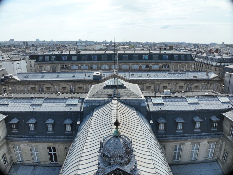
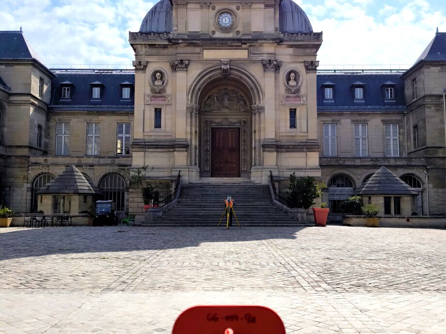
On site, a reference traverse network was established and 3D laser scanning was carried out to capture the buildings in the finest detail. In addition, aerial photogrammetry using drones and terrestrial photography were used to digitise the entire CNAM site.
In total, nearly 13,000 aerial and terrestrial photographs and 800 3D scanning stations were required to produce a complete, georeferenced point cloud of the entire site. Orthophotographs of each façade were then produced—96 in total—with a consistent pixel size of 3 mm. The overall processing was carried out using laser scanning and photogrammetry software. Some assembly calculations even required five full days of processing time! All calculations were performed using our network of high-performance computing machines, significantly reducing processing times.

3.A Complete Digital Twin of the CNAM
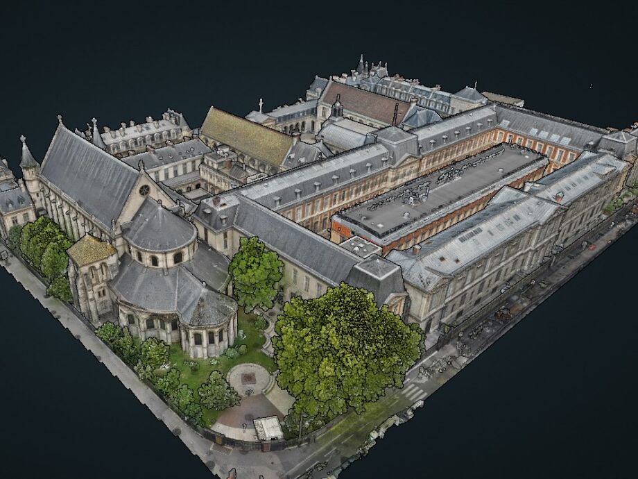
After several months of work, the TT Géomètres Experts teams delivered a digital twin of all the façades and roofs across the CNAM site. The client was also provided with several deliverables, including raw orthophotographs in an uncompressed image format at a resolution of 3 mm per pixel, as well as an A3 PDF exchange format.
All the data acquired on site was uploaded to the TT360 platform. Several layers were created so that the CNAM teams and architects could access all the available data:
- Point clouds generated through photogrammetry and consolidated with terrestrial laser scanner data
- Aerial images captured by drone
- The option to take a virtual tour at ground level
On the TT360 platform, the client also has access to a document management and sharing area for downloading deliverables, as well as secure individual user accounts with the option to create sharing links.
TT360: TT Géomètres Experts' Web-Based 3D Visualisation Platform

Developed by our Innovation Lab, TT360 is an intuitive and precise web-based navigation platform capable of combining and storing all types of geospatial data and formats for high-quality visualisation.
Its applications are wide-ranging and can meet the needs of projects across many fields, from heritage and road infrastructure to utility networks and topographic surveying. Fully customisable, the platform offers exceptional flexibility and can be tailored to the complexity of each project.
From static and mobile 3D laser scanning to point clouds generated by drones or aerial LiDAR, every piece of acquired data can be fully utilised, regardless of its format.